
Lafayette Parish Neighbors by Block
Block research starts with geography, not names. One address can be expanded to parcels that share a boundary, lots across the street, or every parcel between two cross streets. LCG maps supply the spatial frame. The Assessor and Clerk then answer ownership and deed questions for each lot. Voter and association sources add narrower information, but neither is a complete list of households.
| Source | What It Shows About a Block | Access |
|---|---|---|
| LCG ArcGIS apps | Parcel polygons, address points, roads, districts, and enabled layers | Public maps; live controls vary |
| Assessor and Beacon | Parcel ID, situs, displayed owner, mailing address, and value fields | Public search; vendor map may challenge access |
| Clerk plat and conveyance | Lot, block, subdivision, parties, and legal description | eSearch account or copy request |
| Voter address lookup | Registered-voter results at an address, subject to exclusions | Public portal or registrar route |
| Coteries and associations | Planning area, meetings, newsletters, and selective directories | LCG or organization source |
| Sanborn and library sources | Historical buildings, occupants, and block context | LOC or library access |
Displayed ownership is not current occupancy. A tax mailing address may be elsewhere, a non-owner occupant may not appear on the parcel record, and a parcel can contain more than one unit. State the definition of neighbor and preserve the date and layer used for every block conclusion.
Define Lafayette Parish Neighbors First
“Next door” is a parcel relationship. “Across the street” depends on road frontage. “Same block” needs two bounding streets, and “same neighborhood” may mean a planning coterie, historic district, subdivision, or voluntary association. These boundaries often differ. Write the chosen rule at the top of the notes before collecting names.
- Adjacent parcel
- A lot whose mapped polygon shares a boundary with the target lot.
- Address point
- A mapped location assigned to a street address, which may not mark a building entrance.
- Parcel ID
- The assessor's identifier for a mapped tax parcel.
- Situs address
- The physical property address, distinct from an owner's mailing address.
- Coterie
- LCG's local term for a named neighborhood planning group or area.
A social relationship cannot be inferred from any parcel line. The map only supports a stated geographic relationship.
Map Lafayette Parish Neighbor Parcels
LCG links a public ArcGIS gallery, dashboard, lookup app, and Experience Builder maps. Begin with the target address in an official app and record the map date and layer name. Static research did not expose every parcel-search control, click field, boundary tolerance, or export feature, so use only the functions visible in the live app.
- Locate the target address point and parcel in an LCG Maps and GIS app.
- Mark parcels sharing a boundary, then mark across-street parcels separately. Record each parcel ID and frontage.
- Open each parcel independently in the Assessor or Beacon route. Keep situs, mailing address, and displayed ownership in separate fields.
- Use the Clerk's conveyance or plat record when title, lot, block, subdivision, or legal description matters.
- Expand to a whole named road only when needed, using the Lafayette Parish street directory workflow.
The resulting flow is address to parcel, parcel to displayed owner, owner to recorded deed, then each neighbor parcel checked on its own. A shared surname or mailing address may be useful, but it does not prove a household relationship.
Save the legal description when street numbers are unclear. A recorded lot and block can bridge an Assessor parcel to a Clerk instrument even after road work, subdivision changes, or annexation updates alter the address shown by a newer map.
Lafayette Parish Neighborhood Coteries
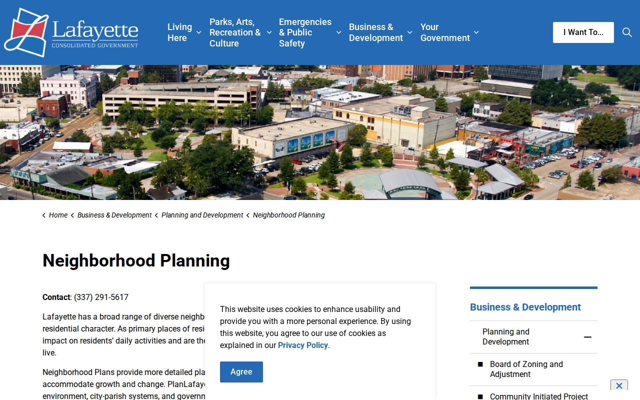
LCG neighborhood planning names six coteries: Freetown-Port Rico, La Place, McComb-Veazey, Oasis, Quiet Town, and Washington Heights. The planning page says residents, property owners, and business owners may participate and gives 337-291-5617 as the contact. Oasis and Quiet Town also have profile PDFs. These materials can define a planning area and supply useful local search terms.
The LCG neighborhood-planning source is captured below.
The names help place a block in civic context. They are not rosters of all households within those areas.
Lafayette Neighbor Association Sources
Two organization sources add a community layer. Lafayette Square Neighborhood Association identifies a historic-district milestone in 1972, meets on the first Tuesday, and publishes a quarterly Marquis and directory. Highland Park Neighborhood Association says it began in 1988, meets every other month, and produces newsletters and directories. Confirm current access and membership scope with each group.
Lafayette Square
Historic-district history, first-Tuesday meetings, quarterly Marquis, and a directory. Directory availability is not a promise of blockwide coverage.
Highland Park
Association history since 1988, bi-monthly meetings, newsletters, and directories. Membership can be voluntary and selective.
LCG Planning
Coterie maps, profiles, PlanLafayette participation, and the public contact at 337-291-5617.
No verified congregation, block-watch, civic-club, or HOA roster covering a particular Lafayette Parish block was found. Ask an organization for its stated geographic and membership scope rather than filling that gap from another source.
Lafayette Parish Voters by Address
The Louisiana voter portal's address screen uses ZIP Code, Address, optional Apt/Lot, and City. It can return voter information at an address, subject to protected-record rules. The public interface does not expose full dates of birth, Social Security numbers, emails, mother's maiden names, or assistance-entitlement data. It is a current-status aid, not a certified block directory.
For a formal list, contact the Lafayette Registrar of Voters at 1010 Lafayette Street, Suite 313, or 337-291-7140. La. R.S. 18:154 allows inspection with exceptions. The official list process gives an advance estimate and requires payment before delivery. Published fields can include parish, ward, precinct, name, party, age, sex, race, last vote date, address, and phone when requested, but protected voters and applications have separate limits.
Run each address separately and note apartments or lots. An empty result may mean no registration, an unmatched form, or lawful protection. It does not prove that a home is vacant.
Ward, precinct, and district fields need a date check because election boundaries change. Party and last-vote information, when lawfully supplied through the list route, describe registration or participation only. They reveal no ballot choice. Keep those fields out of a casual block roster when a simple address confirmation answers the question.
Official Lafayette Neighbor Sources Compared
Official records and commercial neighbor tools answer different questions. Public custodians define the field, date, and legal scope of a result. Commercial compilations may merge old addresses and same-name records without showing how the match was made. Use outside data only as a lead and confirm it at the source.
| Source type | Strength | Main limit |
|---|---|---|
| LCG and Assessor maps | Current geographic and parcel context | Owner is not necessarily occupant |
| Clerk records | Recorded instrument and legal description | Login, fees, and indexing limits may apply |
| Voter and group records | Current registration or voluntary participation clues | Protection and membership gaps |
| Commercial compilation | Broad lead collection | Unknown refresh dates and identity merges |
For a parcel question, prefer the map and deed. For a civic question, contact the coterie or association. No source can turn a mapped block into a verified social network.
Lafayette Blocks Change Over Time
LCG's 2025 annual report records 259 subdivisions, 2,589 lots, 2,664 address points, more than 350 road centerlines, 12 annexation updates, and 55 zoning updates. These changes help explain why a current map may not align with an older directory or deed description. Preserve the map date whenever the shape or name of a block matters.
For an older scene, the Library of Congress holds a six-sheet Lafayette Sanborn set from 1906. The local preservation guidance warns that Sanborn square numbers can change. Search by bounding streets and approximate year, then connect the old building footprint to a modern parcel. Historical city directories and newspapers can add occupants, but they belong to the date printed, not the present block.
Parish history adds another check. Lafayette Parish was created from older territory, and land that once fell within it later became part of Vermilion or Acadia. Lafayette itself was known as Vermillionville before 1884. An old block reference may therefore require a former place-name and a boundary check before it can be tied to a current parcel.
Map tip. Record modern and historical street names, since Lafayette appeared as Vermillionville in older records before the 1884 name change.
Lafayette Parish Neighbor Privacy Limits
Parcel maps do not list every occupant, child, guest, or household member. Utility, delivery, and private account data are not public block directories. Association directories can be voluntary and selective. Louisiana's Address Confidentiality Program substitutes an address for qualifying victims, and protected-official, voter, juvenile, sealed-case, and vital-record rules can lawfully hide or restrict details.
Do not interpret a missing person as proof that the person moved. Record only what the custodian actually shows. Correct parcel facts with the Assessor, deed facts with the Clerk, voter facts with the registrar, and organization details with the group that published them. Limit copied data to what is needed for a lawful personal purpose.
Lawful use. Research nearby households for civic awareness or personal history. Never use block records to watch, follow, threaten, harass, or intimidate anyone.